EAASI announces Rakibun Athid as the winner of the 2026 Outstanding Thesis Award
A digital twin that helps municipalities plan the energy transition neighbourhood by neighbourhood takes the third edition of the "Spatial Business Bridge" award.
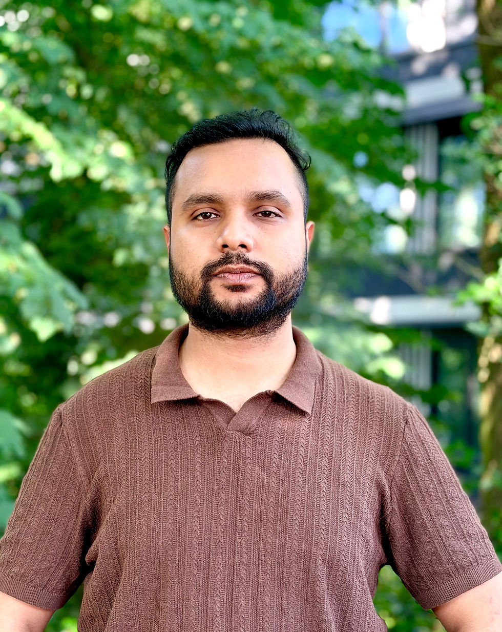
The European Association of Aerial Surveying Industries (EAASI) has named Rakibun Athid the winner of its 2026 Outstanding Thesis Award for his MSc thesis, "Digital Twin for Improvement of the Sustainability of Neighbourhoods through Scenario Planning". Athid completed the thesis at the Faculty ITC of the University of Twente, in the Netherlands. It received the highest score among all submissions in the Evaluation Committee's weighted assessment of technical, economic and scientific criteria.
Now in its third edition, the award recognises post-graduate work that links geospatial technology, particularly crewed airborne data acquisition, with practical value in the public or private sector. Athid follows Quddus Busari, the first recipient, and Weixiao Gao.
A digital twin built on airborne data
Athid's thesis presents a browser-based digital twin of Twekkelerveld, an ordinary residential neighbourhood in Enschede with 1,465 buildings. It combines national airborne laser scanning data with 3D building models so that planners can test energy and greening measures on a single map. These include rooftop solar, insulation, heat pumps, tree planting and green roofs.
According to the thesis, rooftop solar potential in the neighbourhood exceeds its electricity use.
Combining solar, insulation and heat pumps would cut operational CO2 emissions by about 74%. The model also shows a trade-off that single-topic tools miss: solar roofs and tree canopy compete for the same south-facing surfaces. Sixty-six practitioners evaluated the prototype.
Airborne data underpins the work. Layers such as individual tree crowns and roof geometry come from crewed aerial surveying, and the baseline was built from national aerial products and public registers, without visiting the buildings. Athid reports that his research has contributed to the development of a tool for the Province of Overijssel’s FutureBEEing programme.
"This thesis shows how airborne data can become a practical tool for local decision-making. It answers the question the award asks: how geospatial technology creates value beyond the map," noted Marcos Martinez Fernandez, EAASI Secretary General.
"This recognition means a lot to me. My thesis started in ITC, University of Twente, with a practical question: where do insulation, solar panels or new trees make the most difference in a neighbourhood? Airborne LiDAR and aerial imagery gave the detail needed to answer it in a digital twin that planners can actually use. I thank EAASI for valuing research that reaches practice, and I look forward to meeting everyone in Alicante," shared Rakibun Athid, recipient of the award.
Evaluation and presentation
The 2026 evaluation panel — composed of Uwe Bacher, Seppe Cassettari, Javier Matesanz, Jan Skaloud, Lena Halounová and Fabio Remondino — assessed the submitted works according to predefined criteria and scoring.
Athid will receive the award at the EAASI Partners Summit 2026, which takes place in Alicante, Spain, from 17 to 20 November.
About the winner
Rakibun Athid holds an MSc in Spatial Engineering from ITC, University of Twente. As Digital Transformation Lead at twinlink.eu, he works on digital twins that help make neighbourhoods more sustainable. He is currently co-founding ClarionIQ B.V., the upcoming commercial spin-off of twinlink.eu, and will serve as its CTO.
About the award
The EAASI Outstanding Thesis Award, "Spatial Business Bridge", is part of the association's strategy to encourage collaboration between academia and industry, attract new talent and promote applied research in the aerial surveying sector. The initiative is led by the Student and University Engagement Committee, chaired by Patrik Meixner.
About EAASI
Contact: Ada Perello, EAASI Communications Manager, communication@eaasi.eu


Comments