EAASI joins the The Earth Archive Virtual Congress as a supporting organization
- Jun 2, 2021
- 1 min read
Did you know about this interesting initiative?
The Earth Archive project is emerging as the conservation initiative that is revolutionizing the fight against the climate crisis and earth system change in the post-pandemic world.
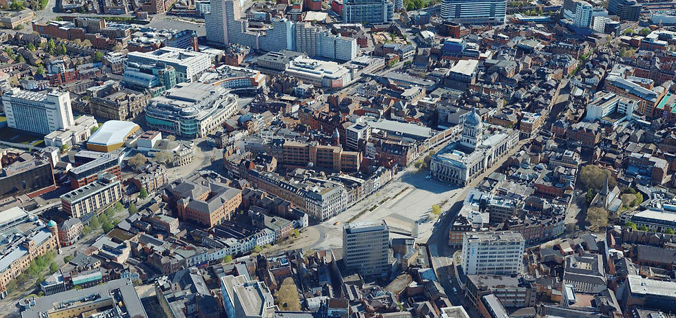
By 3D scanning the entire land surface of the planet and storing and providing the data in the voxelmap format the Earth Archive is creating a true three dimensional open source digital twin and is positioned to become the provider of record serving critical baseline geoscience data for today and in perpetuity. A digital Earth Archive is the ultimate legacy that we can leave for future generations.
AERIAL SURVEY COMPANIES are collecting most of the lidar data generated in the world every year, that is why we want to support this unprecedent scientific effort to create a digital twin of the entire surface of the Earth.
Save your date and register for free on The Earth Archive Virtual Congress.
https://www.theeartharchivecongress.com/


Comments